Restoring the First Four Miles
For decades, rafters, kayakers, swimmers, anglers and others have been drawn to the gentle waters of the first four miles of The Truckee. But with no formal access points, all of us have been entering the water at all points, up and down the banks.
This ongoing ingress/egress has resulted in serious stream bank erosion, loss of habitat, vegetation die-off—even safety concerns. Once thriving stream banks had been literally hollowed out, accelerating massive erosion and altering the flow of the river.
And this is exactly the kind of challenge we thrive on.

Protecting and beautifying the banks

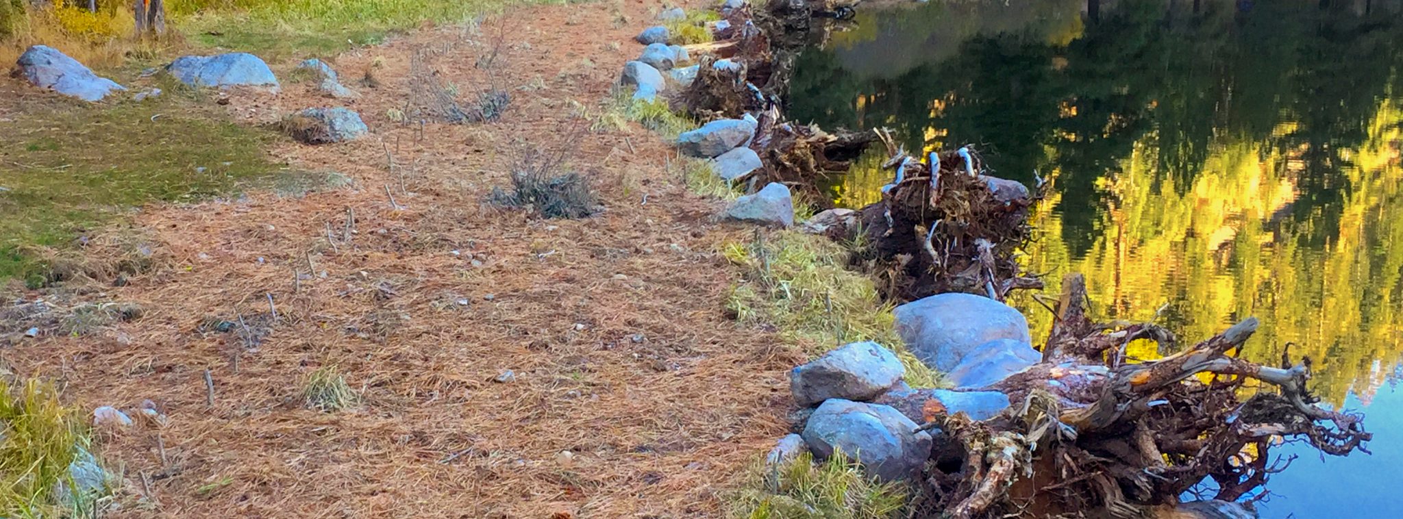
Protecting the bank
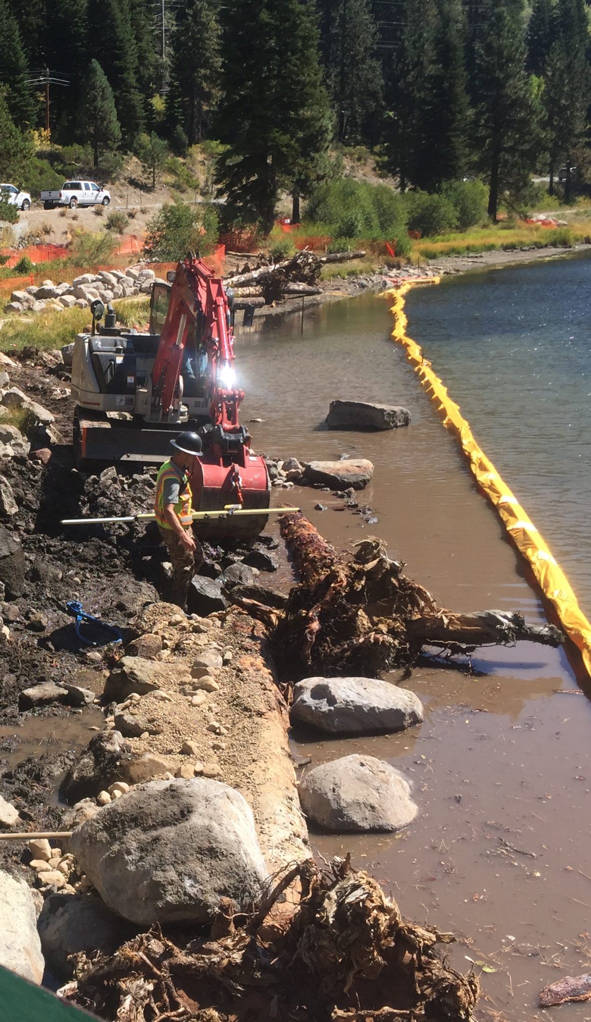
By installing natural barricades—like boulders, root wads and dense prickly rose bushes—we simultaneously prevent further damage and enhance the landscape.
Enhancing the area
Re-establishing 3,000 square-feet of plantings along the bank not only protects, it beautifies. And interpretive signage builds respect for this fragile eco-system.
Re-establishing habitats
Native species—both aquatic (like Speckled Dace and Paiute Sculpin) and terrestrial (such as alder and willow)—are moving back.
Providing access
Building environmentally compatible entry and exit points has improved the health and beauty of the riverbank as well as the safety and enjoyment of its recreational users.
Improving water
Reducing headwater erosion and sedimentation makes our water fishable, drinkable and swimmable for miles downriver.

Where it
all happens
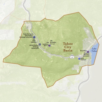
The First Four Miles includes riverbank and flood plain sections from Tahoe City to Bear Creek.
Fast Facts
Location: First four miles of the Truckee River from Tahoe Dam to Bear Creek
Scale: 1,200 lineal feet of floodplain and stream bank
Schedule: August 2014 – November 2017
Project Cost: $431,000
100% funded

Timeline

Dig
deeper
For more information on assessments, monitoring, plans and reports on the First Four Miles restoration project, explore this resources section.
