The
Water-
shed
We all live in a watershed
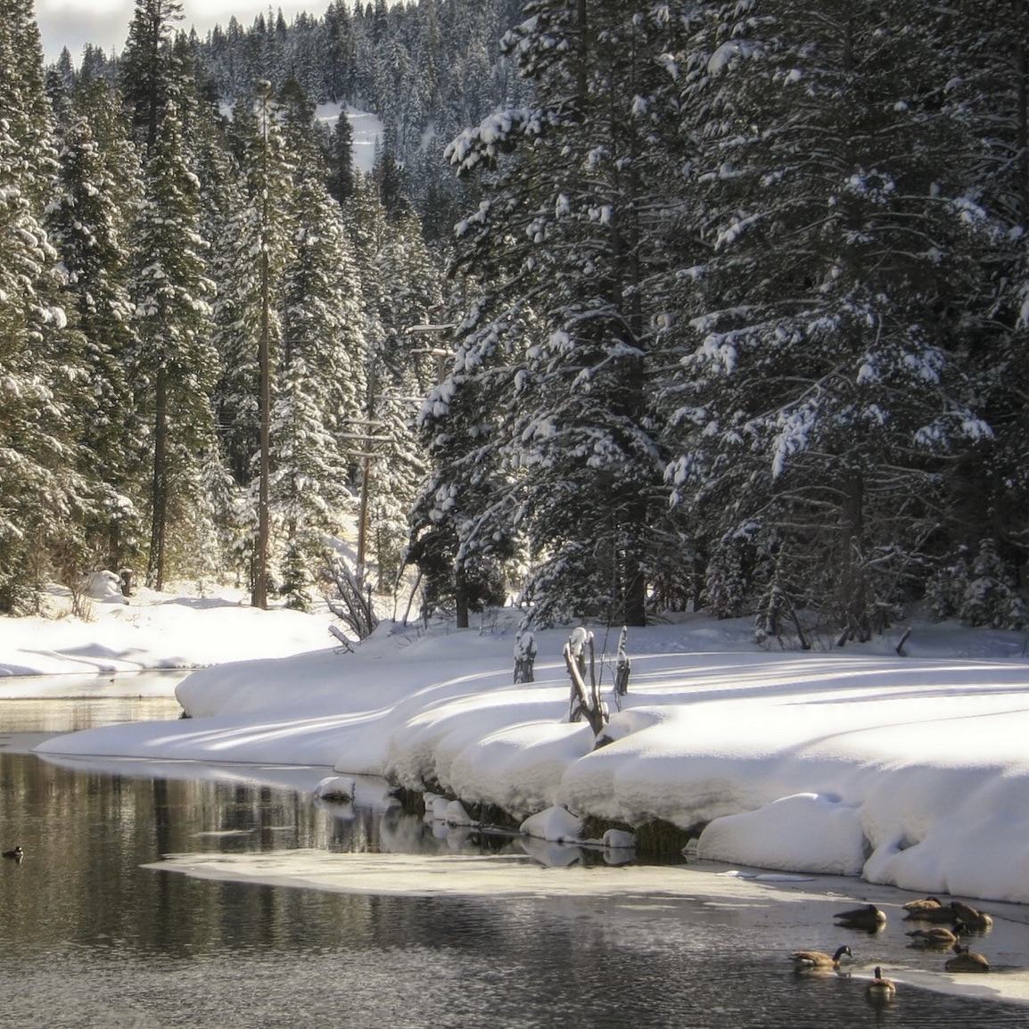
Our watershed is more than our creeks and streams, meadows and ponds. It’s part of all of us: the wildflowers and wildlife, birds and birders, fish and fishers, nature and nature-lovers.

What is a watershed?
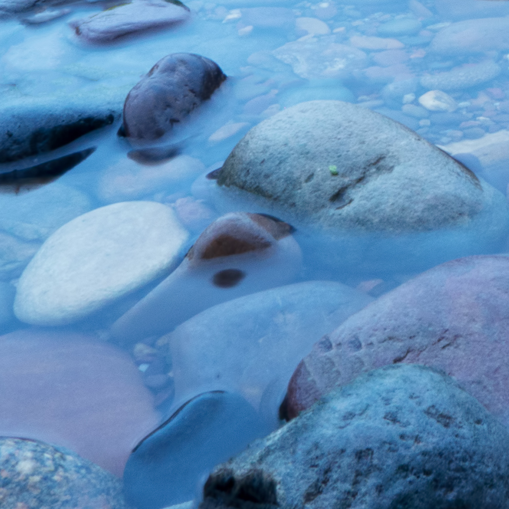
Even if you live at the top of a mountain—or in the middle of an ocean—you probably live in a watershed. It’s a part of the planet where everything (fresh water, pollutants, sediment) drains towards a body of water.
As watersheds go, ours has a couple quirks. First, most watersheds drain into an ocean. Ours starts in a lake and ends in a lake (Tahoe to Pyramid). Secondly, our waters flow north and east—the opposite direction most watersheds west of the continental divide flow.
Map of the Middle Truckee River Watershed
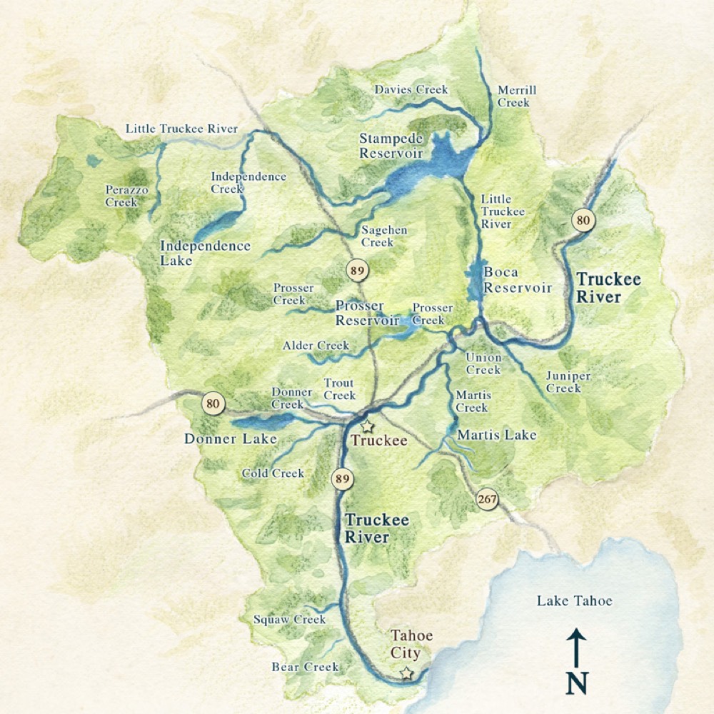
What
All the land, streams, rivers and meadows from Tahoe Dam to the California Nevada state line—all flowing into the Truckee River.
Size
435 square miles
or 285,000 acres
Rain and Snow
30”-40” per year average
record high: 85”
record low: 14″
Water Quality
Due to excess sediment, the Truckee River is rated polluted by the EPA*.
Reservoirs
- Boca
- Donner
- Independence
- Martis
- Prosser
- Stampede
Flora and Fauna
Home to sugar pines, tiger lilies, and buttercups—as well as river otter, bobcat, Great Blue Heron, and Lahontan cutthroat trout.
* U.S. Environmental Protection Agency